Topographical Survey
Topographical/Ground Level Surveys, Digital Terrain Models and Volume AnalysisTopographical or land surveys are undertaken using the latest survey equipment to collect site data and measurements for the processing and production of accurate and clear survey plans for your project. Typical instrumentation used will include robotic EDM’s and GNSS (GPS) equipment. Topographical surveys are usually related to either Ordnance Survey Nation Grid and datum or to a local site grid and datum.
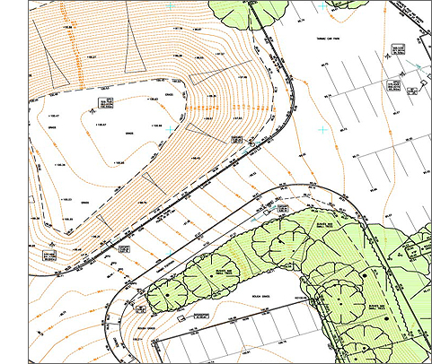
This example shows how contours formed around a digital terrain model can be used to demonstrate a mound within the site. Trees and shrubbery are usually hatched green for easy identification. Car parking spaces and other road markings have also been shown.
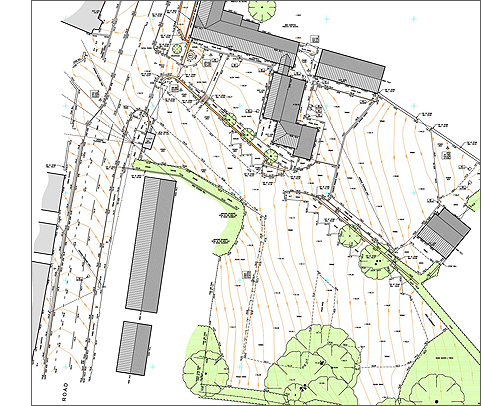
In the example below, building roof lines, slopes and heights have been measured remotely without the need for physical contact so even the off-site buildings can be measured.
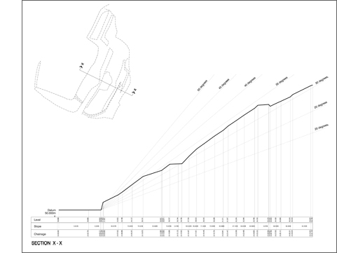
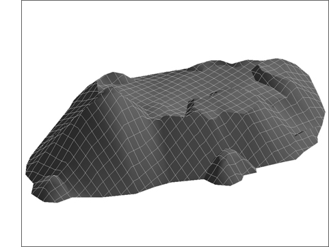
Whilst the final output of a survey can be either 2D or 3D depending on your requirements, all site data is gathered in 3D so that digital terrain models can formed and used to produce contours, cut/fill or stockpile volume analysis and site cross sections.